IASBS
Departments
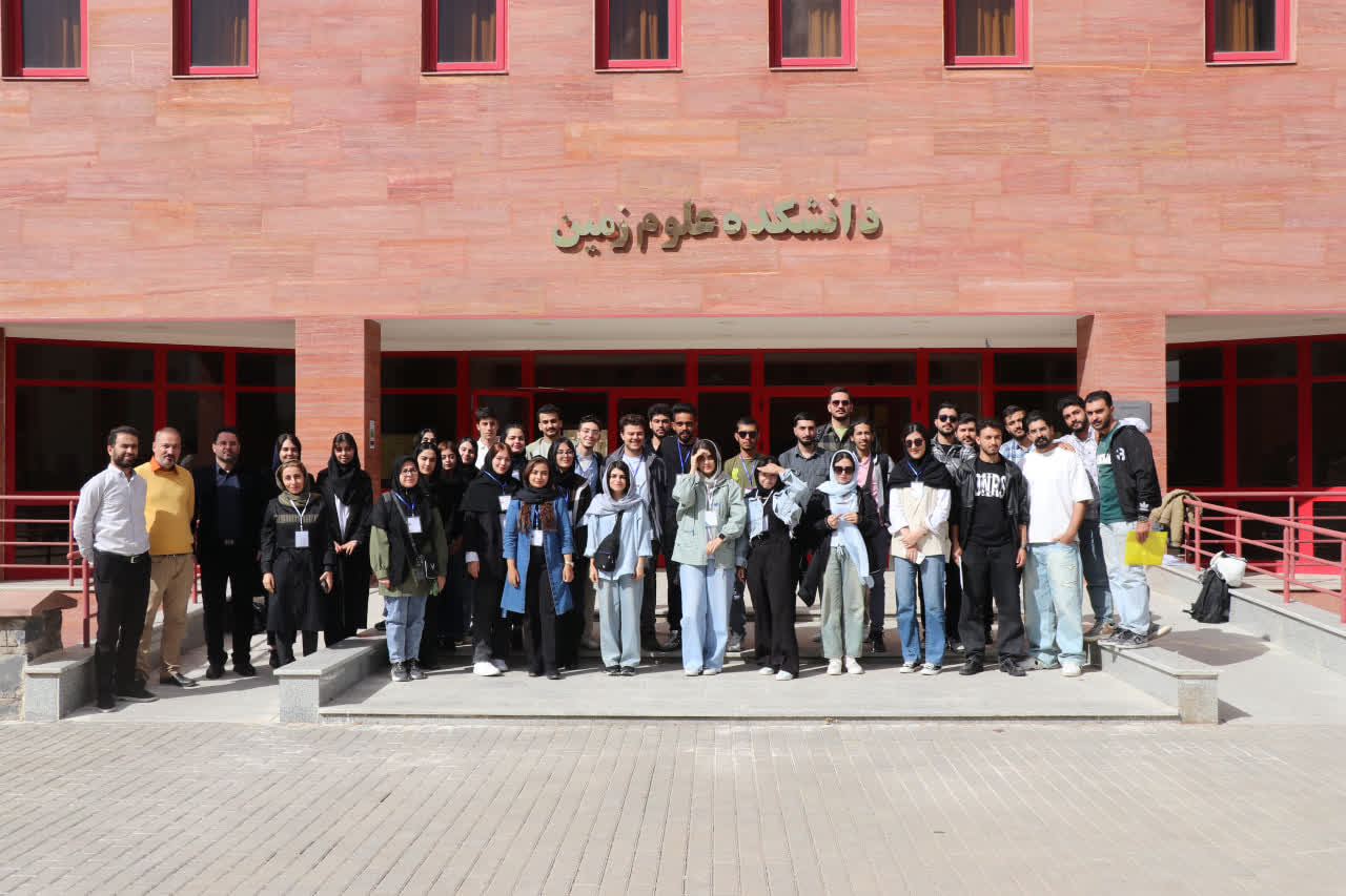
Department of Earth Sciences
Department of Earth Sciences

The Department of Earth Sciences was established in 2004, initially as a Geophysics group. With the institutional growth of the university, the department expanded to include a range of Earth science disciplines, including tectonics, petrology, sedimentology, hydrogeology, climate science, and remote sensing. Today, we are a team of 17 active faculty members engaged in teaching and research across these diverse fields.
Our educational mission focuses exclusively on postgraduate studies at the MSc and PhD levels. We offer MSc programmes in geophysics, tectonics, sedimentology, hydrogeology, and geological remote sensing. At the doctoral level, we provide two pathways: a standard PhD programme (MSc pre-requisite) in seismology and gravimetry, and a direct PhD programme (MSc + PhD) in seismology.
Research forms a central pillar of our department alongside education. We place particular emphasis on interdisciplinary collaboration, both through the integration of our diverse specialisations and by strengthening links with related disciplines such as physics and mathematics. The department is committed to fostering a dynamic academic environment that produces skill-oriented graduates. To this end, we have designed innovative and flexible programmes that encourage interdisciplinary study.
Beyond education and research, we view cultural and extracurricular activities as integral to academic life. Our initiatives include field trips to geological sites, Student Day events, and orientation activities for incoming students; all designed to enrich scientific understanding and foster social connection.
The Department of Earth Sciences welcomes motivated and talented researchers seeking to pursue advanced studies in a vibrant, intellectually dynamic environment. We invite you to take advantage of our distinctive facilities and opportunities as you advance your career in the Earth sciences.
Weekly Seminar
Parvaneh Alizadeh Saeid - Department of Earth Sciences
2025-12-10 11:15
Place:
Weekly Seminar
Masoud Serajamani - Department of Earth Sciences
2025-12-10 10:15
Place:
Weekly Seminar
Mohammad Refayati Minaei - Department of Earth Sciences
2025-12-10 09:30
Place:
M.Sc. Defense
Mohammad Rahim Shayan - Department of Earth Sciences
2025-12-03 10:00
Place:
Weekly Seminar
Faezeh Taherzadeh - Department of Earth Sciences
2025-12-02 15:45
Place:
Weekly Seminar
Razie Noroozi - Department of Earth Sciences
2025-12-02 14:00
Place: